


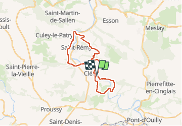

41 km | 54 km-effort


User


FREE GPS app for hiking
 SityTrail
IGN / Geographical institutes
SityTrail World
The world is yours!
Trail Walking of 24 km to be discovered at Normandy, Calvados, Le Vey. This trail is proposed by fredtruc27.
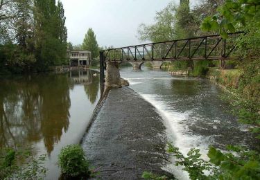
randonnée autour de Clécy et le long de l'Orne.
Malheureusement beaucoup de bitume. Attention aux ampoules !
Quelques beaux points de vue tout de même avec la vue sur une ancienne filature qui fabriquait des pansements depuis 1871.

Mountain bike

Mountain bike


On foot

On foot
On foot

On foot

Mountain bike
Walking